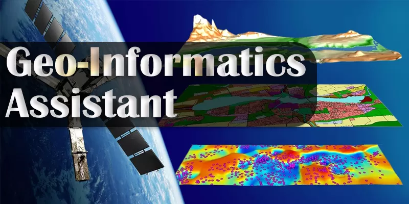
ITI Trade: Geo-Informatics Assistant
Powered by NCVT (National Council for Vocational Training)
Course Overview
The Geo-Informatics Assistant trade is a job-oriented vocational course under the Craftsmen Training Scheme (CTS), powered by NCVT. This trade is designed to equip students with industry-relevant skills in the field of Geographic Information Systems (GIS) and Geo-Spatial Technology.
This course is ideal for those seeking government jobs, private sector employment, or self-employment opportunities. The program is meticulously designed to meet the industrial requirements of Indian industries as well as international markets.
Why Choose Geo-Informatics Assistant Trade?
✅ High Demand Skills: Geospatial data and analysis are crucial for infrastructure development, urban planning, disaster management, and more.
✅ Career Opportunities: Opens doors to multiple roles in the GIS industry, both in India and abroad.
✅ Empowering Self-Employment: Learn to handle projects independently, offering services in GIS mapping, data analysis, and remote sensing.
✅ Industry-Focused Curriculum: Designed to fulfill current and future industry requirements, blending practical and theoretical learning.
Key Skills You Will Learn
- Installation and operation of GIS software and hardware.
- Data collection, analysis, and interpretation using GIS tools.
- Capture, store, manipulate, and manage spatial and geographic data.
- Digital Cartography: Learn map production and data collection techniques.
- Understand GPS technology, including signals, codes, biases, and measurement of locations.
- Differential GPS (DGPS): Master the use of DGPS for accurate positioning, distance measurement, data downloading, and processing.
- Web GIS: Learn to publish files on Geo-Server for web-based applications and services.
Employment Scope
The Geo-Informatics Assistant trade offers wide employability ranging from: ✅ Self-employment
✅ Contractual employment
✅ Permanent roles in the industrial sector
On successful completion of the course, candidates can be employed in industries under the following job roles:
🔹 GIS Technician
🔹 GIS Data Specialist
🔹 GIS Application Specialist
🔹 GIS Consultant
🔹 GIS Operator
🔹 GIS Technical Assistant
Who Should Join This Course?
- Students interested in mapping, data analytics, spatial analysis, and technology.
- Individuals looking for job security in government and growth opportunities in the private sector.
- Entrepreneurs planning to offer GIS services or start their own GIS consulting businesses.
Conclusion
The ITI Geo-Informatics Assistant trade is your gateway to an exciting career in the growing geospatial industry. This skill-set is highly valued by government agencies, private organizations, research institutes, and NGOs working in urban planning, agriculture, disaster management, environmental studies, and more.
Take a step toward a high-tech, data-driven career by joining this in-demand and industry-aligned course today!
Learning Outcomes – Geo-Informatics Assistant (ITI Trade)
Powered by NCVT
Upon successful completion of the Geo-Informatics Assistant course, trainees will acquire the following skills and competencies:
1. Safe Working Practices
- Apply safe working practices in accordance with industry standards to ensure personal and workplace safety.
2. Computer Fundamentals
- Identify various components of a desktop computer.
- Become familiar with different computer operating systems.
3. Operating Systems & Software Installation
- Install, set up, and configure operating systems (Windows/Linux) and related application software on a computer.
4. Word Processing Applications
- Create, format, and edit documents using word processing software (e.g., MS Word).
5. Spreadsheet Applications
- Create, format, edit, and develop workbooks using spreadsheet software (e.g., MS Excel).
- Compile data, create charts, and perform data analysis.
6. Presentation Applications
- Prepare and customize professional presentations using PowerPoint.
- Insert multimedia, animations, and design templates for impactful communication.
7. Graphic Design (Photoshop)
- Design, create, format, and edit digital images using Adobe Photoshop or equivalent software.
8. Database Management (MS Access)
- Plan, create, and manage database files using MS Access.
- Input, manage, and retrieve data efficiently for various applications.
9. Computer Networking
- Plan, install, set up, configure, and secure a computer network.
- Establish internet connectivity and implement network security practices.
10. Geographic Information System (GIS)
- Analyze, manage, and interpret data using GIS software.
- Plan, capture, store, manipulate, and present spatial or geographic data using GIS tools and technologies.
11. Remote Sensing
- Select, install, and operate various remote sensing software applications.
- Record and process data collected from different remote sensing platforms.
12. Remote Sensing Data & Sensors
- Select different platforms and understand various data products and sensors used.
- Learn their applications in diverse industries (e.g., agriculture, disaster management, urban planning).
13. Digital Image Processing
- Plan and implement digital image processing techniques.
- Select appropriate procedures, interpret images, and perform feature extraction and analysis.
14. Digital Cartography
- Plan and implement digital cartography processes for data collection.
- Produce accurate and informative maps.
15. GPS and DGPS Applications
- Select datum units and scale in mapping applications.
- Identify GPS components, signals, codes, and biases.
- Measure locations accurately using GPS and Differential GPS (DGPS).
- Set up DGPS for calculating positions, measuring distances, downloading data, and processing it using appropriate software.
16. Web GIS Publishing
- Publish spatial data files on Geo-Servers.
- Utilize Web GIS tools to manage and present geographic information online.
✅ Key Highlights
- Industry-standard skills for Government and Private Sector jobs.
- High-demand competencies in GIS, Remote Sensing, Digital Mapping, and Spatial Data Analysis.
- Aligned with Indian and International industrial requirements.